Difference between revisions of "Laird Park"
Jump to navigation
Jump to search
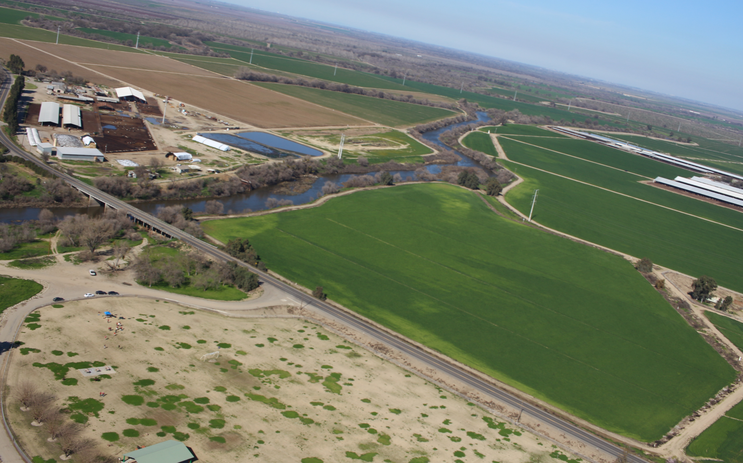
Laird Park Aerial as captured from SSI-29
| Line 12: | Line 12: | ||
Laird Park is a public park, open at all hours, and an extremely useful launch site due to its location. Winds throughout the year tend to be predominantly east-west or north-south. The Laird Park location is optimal for north-south winds, and allows for some flexibility in east-west winds due to its central location in the central valley. Payloads flying north or south will land in farm fields of the valley, and have some room to move in the east-west directions before running into mountains and mire difficult-to-reach areas. | Laird Park is a public park, open at all hours, and an extremely useful launch site due to its location. Winds throughout the year tend to be predominantly east-west or north-south. The Laird Park location is optimal for north-south winds, and allows for some flexibility in east-west winds due to its central location in the central valley. Payloads flying north or south will land in farm fields of the valley, and have some room to move in the east-west directions before running into mountains and mire difficult-to-reach areas. | ||
| − | + | [[File:laird_park_aerial.png | center | frame | <center>Laird Park Aerial as captured from SSI-29</center>]] | |
Revision as of 07:12, 16 February 2016
| Laird Park | |
|---|---|

| |
| Location | Modesto, CA |
| Coordinates | 37.56158, -121.14993 |
| Used By | Balloons |
Laird Park, referred to as the "Modesto Launch Site", is a frequently visited launch site for the balloons team in the Central Valley.
Laird Park is a public park, open at all hours, and an extremely useful launch site due to its location. Winds throughout the year tend to be predominantly east-west or north-south. The Laird Park location is optimal for north-south winds, and allows for some flexibility in east-west winds due to its central location in the central valley. Payloads flying north or south will land in farm fields of the valley, and have some room to move in the east-west directions before running into mountains and mire difficult-to-reach areas.
